
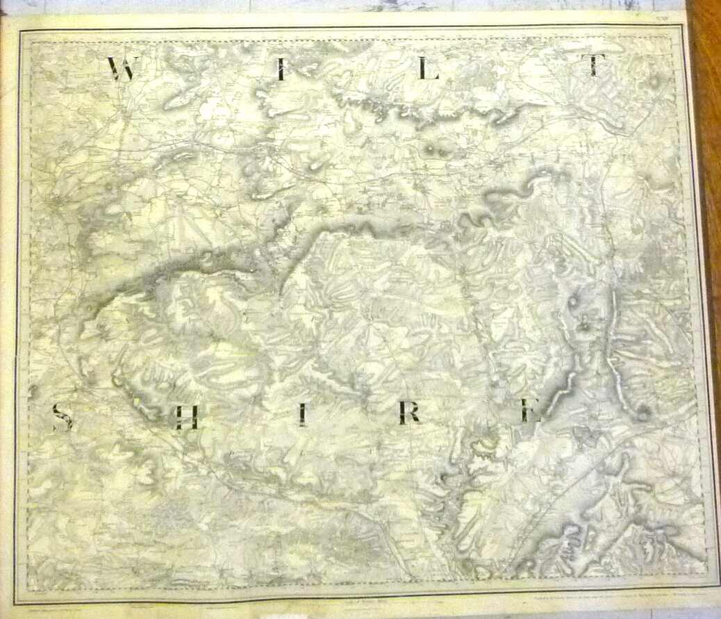
Brief description: 1″ ordnance survey map, no. XIV, showing Warminster, Melksham and Amesbury (Wiltshire), dated 14th August 1817 (‘Railways inserted to June 1882’.)
height: 65.9 cm
width: 85.8 cm
Classifications:
environment |
Material: paper, ink
Condition: fair