
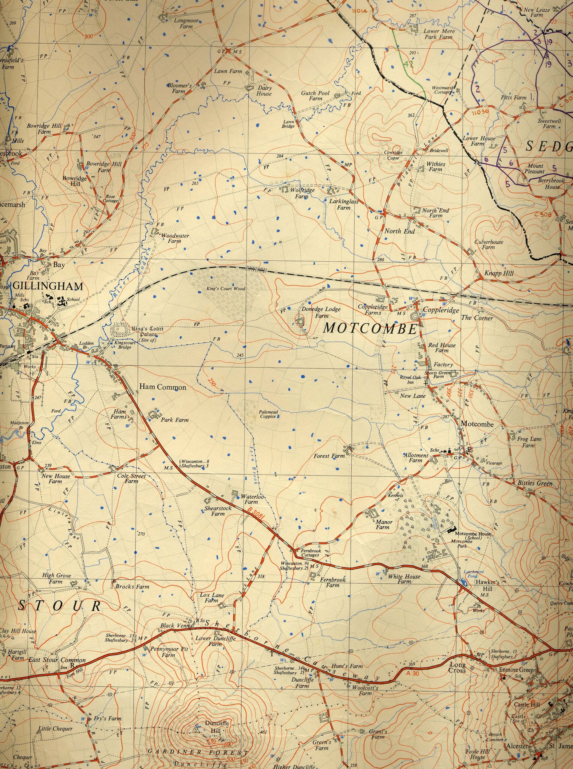
Brief description: map, second of three Ordnance Survey Maps of Mere district, [No ST 82], 2 1/2′ to the mile, published 1958, used as a survey of the rights of way, Mere, Wiltshire
Associated person: Ordnance Survey
width: 56cm
height: 48cm
Classifications:
Material:
Condition: