
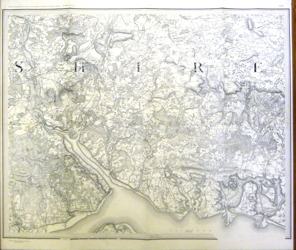
Brief description: 1″ ordnance survey map, no XI, showing Winchester, Southampton and Portsmouth, headed ‘Index to Tithe Survey’, dated 10th April 1810 ‘with later additions’.
height: 67.3 cm
width: 72.5 cm
Classifications:
environment | maps |
Material: paper
Condition: good